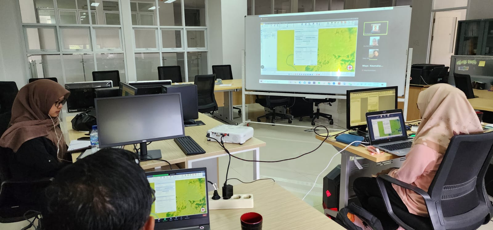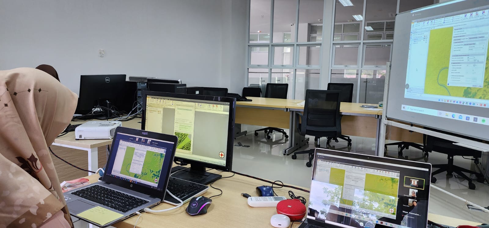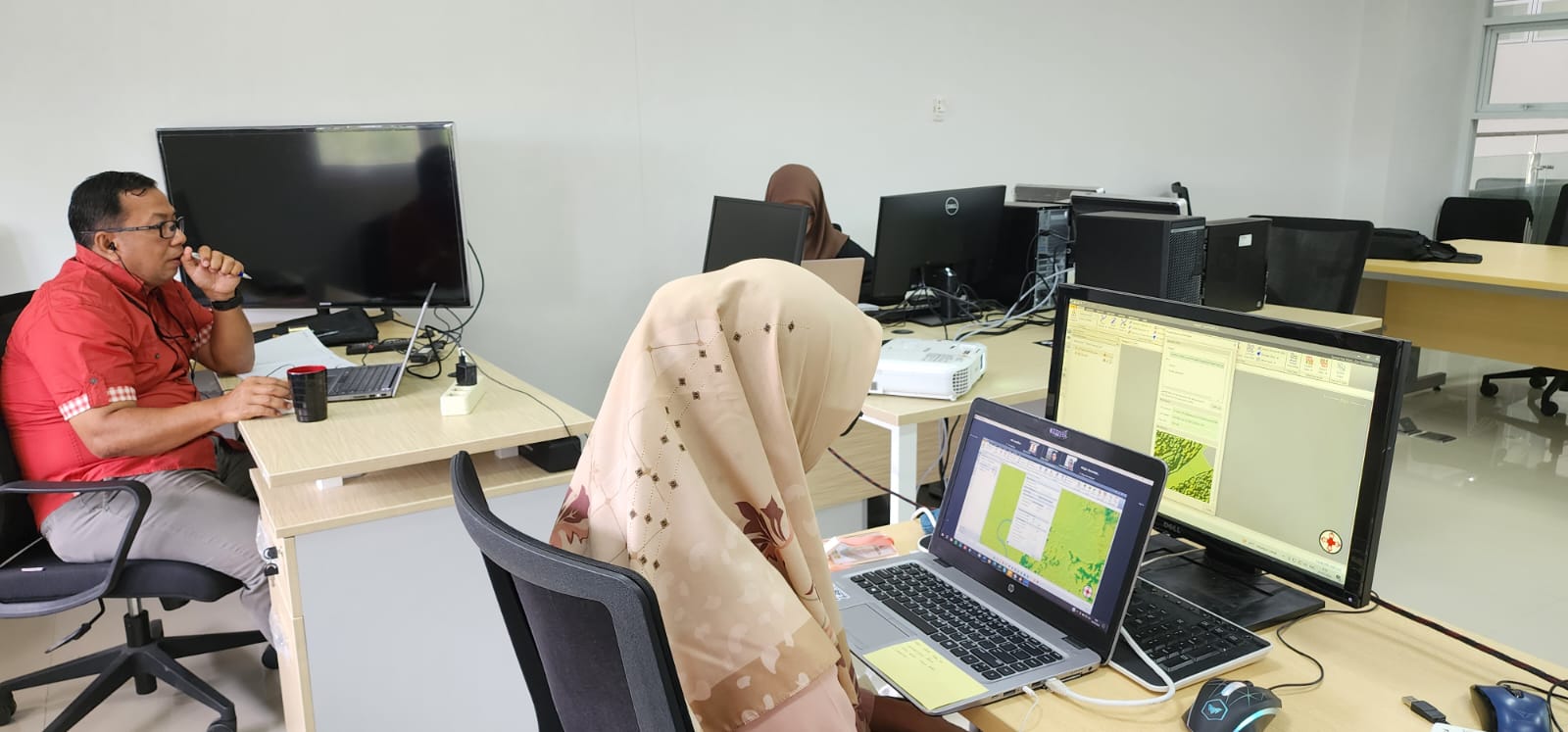
Banda Aceh – Dr. Ella Meilianda, ST., MT, the Coordinator of the TDMRC (Tsunami and Disaster Mitigation Research Center) Disaster Risk Management Division, along with the research team, conducted a training activity with the theme ‘Hands-on Tutorial on Flood Simulation, Study Case Kr. Tamiang and Kr. Peuto Datasets.’
The purpose of this training was to enhance the understanding of teachers and students involved in research on the application of GEOHECRAS for flood disaster modeling. GEOHECRAS is software developed by CivilGeo that simplifies the process for civil engineers to model the natural flow of rivers and predict how they may be impacted by water, whether the flow is stable or unstable/inconsistent. This modeling can produce data that helps in predicting and preventing events like riverbank flooding, waterlogging under roads, or redirecting river flow to artificial lakes.


